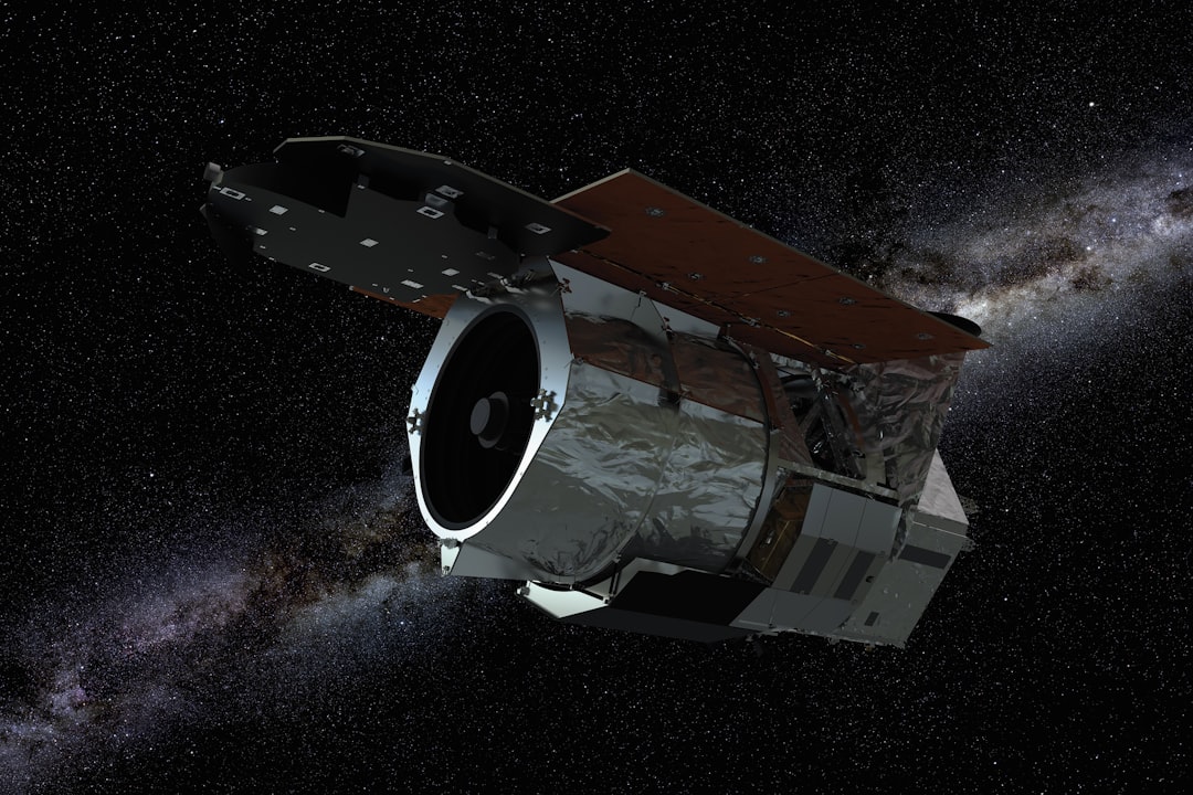
The race to monitor Earth from space has created an unexpected paradox: the very satellites designed to help us understand and protect our planet could end up making orbital space unusable for future missions. As demand for high-resolution satellite imagery surges across industries—from precision agriculture to climate change monitoring—researchers are grappling with a critical question that challenges conventional wisdom about satellite design.
A groundbreaking study published in Advances in Space Research by John Mackintosh and his colleagues at the University of Manchester reveals a counterintuitive solution to the growing threat of orbital collisions. Their research demonstrates that launching more numerous, smaller satellites in lower orbits may actually be safer than deploying fewer, larger satellites at higher altitudes—a finding that could reshape how we approach Earth observation mission design for decades to come.
The implications extend far beyond academic interest. With NASA and commercial operators launching unprecedented numbers of satellites, understanding the optimal balance between coverage capabilities and collision risk has become one of the most pressing challenges in modern space operations.
The Growing Importance of Earth Observation Satellites
Satellite imaging has evolved from a specialized tool used primarily by government agencies into an indispensable resource touching nearly every aspect of modern life. Earth observation data now powers applications ranging from monitoring deforestation in the Amazon to tracking urban development in rapidly growing cities, from assessing crop health across vast agricultural regions to identifying areas most vulnerable to poverty and climate change impacts.
This explosive growth in demand has triggered a corresponding surge in satellite launches. The global Earth observation market is projected to exceed $8 billion by 2028, driving both established space agencies and innovative commercial ventures to deploy increasingly sophisticated imaging systems. However, this proliferation of orbital assets brings with it a sobering reality: each new satellite increases the probability of catastrophic collisions that could create cascading debris fields, potentially rendering certain orbital zones unusable—a scenario known as Kessler Syndrome.
The Manchester research team recognized that addressing this challenge requires rethinking fundamental assumptions about satellite design. Rather than simply accepting collision risk as an inevitable cost of expanded Earth monitoring capabilities, they set out to determine whether mission architecture itself could be optimized to minimize these dangers while maintaining essential observational performance.
Defining the Requirements: Resolution and Technology Constraints
The researchers began their analysis by establishing clear performance benchmarks that any viable Earth observation system must meet. Central to their study was the requirement for 0.5-meter resolution per pixel—a specification that represents a critical threshold for meaningful scientific and commercial applications. At this resolution, satellites can detect individual trees in forests, distinguish between different crop types, identify building modifications, and track environmental changes with unprecedented precision.
This level of detail enables researchers to conduct sophisticated analyses that would be impossible with lower-resolution imagery. For instance, forest monitoring programs can identify selective logging activities that might escape detection at coarser resolutions, while urban planners can track informal settlement growth in developing nations with accuracy sufficient to guide infrastructure investments.
The study also specified that these systems should employ optical imaging technology operating in the visible light spectrum. While alternative approaches like synthetic aperture radar (SAR) offer certain advantages—including the ability to penetrate cloud cover and operate during nighttime—optical systems provide irreplaceable capabilities for analyzing surface conditions, vegetation health, and land use changes that require color and spectral information.
"The choice of optical systems isn't just about image quality—it's about the fundamental nature of the data we can extract. Optical imagery allows us to see the Earth as humans perceive it, which is essential for many environmental monitoring applications," the research team noted in their analysis.
The Mathematics of Orbital Trade-offs
With performance requirements established, the Manchester team delved into the complex physics governing satellite design. The relationship between orbital altitude, optical aperture size, and satellite mass creates a cascade of engineering trade-offs that profoundly impact both mission capabilities and collision risk.
The fundamental principle is straightforward: to achieve a given ground resolution, the optical system's aperture must increase proportionally with altitude. A satellite orbiting at 300 kilometers above Earth requires an aperture of just 0.33 meters to achieve 0.5-meter resolution. However, raising that same satellite to 750 kilometers—a more typical altitude for many Earth observation missions—necessitates expanding the aperture to 0.83 meters, an increase of more than 150 percent.
This scaling effect triggers exponential growth in overall satellite mass. The larger optical system requires more substantial structural support, more powerful attitude control systems to maintain precise pointing, and critically, more propellant to maintain orbital position and counteract atmospheric drag. The researchers calculated that a satellite capable of 0.5-meter resolution at 300 kilometers would mass approximately 107 kilograms, while an equivalent system at 750 kilometers would balloon to roughly 1,360 kilograms—nearly thirteen times heavier.
Constellation Architecture and Coverage Considerations
Higher orbits do offer one significant advantage: enhanced coverage efficiency. A satellite at 750 kilometers altitude can observe a much larger swath of Earth's surface during each pass, meaning fewer satellites are needed to achieve global coverage within a specified time window. The Manchester analysis showed that just 10 satellites at 750 kilometers could provide one-hour revisit capability for any location on Earth.
In contrast, achieving the same coverage from 300 kilometers requires deploying 22 smaller satellites—more than double the number. This apparent advantage of high-altitude constellations initially seems to support the traditional approach of placing fewer, larger satellites in higher orbits, as it reduces launch complexity and ground station coordination requirements.
However, this conventional wisdom fails to account for the dramatically different collision risk profiles between these two architectural approaches—a factor that the researchers found fundamentally alters the calculus of safe mission design.
The Hidden Danger of Larger Satellites
The Manchester study's most significant contribution lies in its comprehensive analysis of how satellite size and orbital altitude interact to influence collision probability and debris generation potential. Larger satellites present substantially bigger cross-sectional areas to potential impactors, dramatically increasing the likelihood that they will be struck by debris during their operational lifetime.
Current orbital debris tracking by the U.S. Space Surveillance Network reveals that the highest concentration of dangerous debris—what researchers call "debris flux"—exists between 850 and 950 kilometers altitude. This hazardous zone corresponds to legacy sun-synchronous orbits that were popular for earlier generations of Earth observation satellites, many of which have since fragmented following collisions or malfunctions.
The problem compounds when considering what happens if a collision does occur. A 1,360-kilogram satellite struck by debris doesn't simply cease functioning—it shatters into hundreds or thousands of fragments, each becoming a new projectile capable of destroying other satellites. This cascading debris generation represents the nightmare scenario that keeps space safety experts awake at night: a single collision triggering a chain reaction that renders entire orbital shells unusable for generations.
The Protective Effect of Lower Orbits
Lower orbital altitudes offer a natural debris mitigation mechanism that higher orbits lack: atmospheric drag. Even at 300 kilometers—well above the densest layers of Earth's atmosphere—sufficient air molecules exist to gradually slow satellites and debris fragments, causing them to lose altitude and eventually burn up during reentry.
This self-cleaning effect means that debris generated at lower altitudes has a limited lifetime, typically measured in months to a few years rather than the decades or centuries that debris can persist at higher altitudes. The practical result is a dramatically cleaner orbital environment where the probability of encountering dangerous debris remains relatively low despite higher satellite densities.
Recent operational decisions by major satellite operators reflect growing recognition of these dynamics. SpaceX's Starlink constellation, for instance, recently relocated satellites from 550-kilometer orbits down to approximately 480 kilometers specifically to take advantage of enhanced atmospheric drag for debris mitigation—a move that aligns closely with the Manchester team's recommendations.
Implications for Space Sustainability and Regulation
The research carries profound implications for the future of space operations and the urgent need for international space traffic management frameworks. Currently, no binding global regulations govern satellite spacing, orbital slot allocation, or mission design requirements for Earth observation systems. Individual nations and operators make decisions based largely on technical performance and economic considerations, with safety factors often receiving secondary priority.
The Manchester study provides quantitative evidence that could inform future regulatory approaches. By demonstrating that mission architecture choices have measurable impacts on collision risk and debris generation, the research offers policymakers concrete data to support evidence-based regulations that balance operational needs with long-term orbital sustainability.
The findings also challenge the aerospace industry to reconsider design paradigms that have dominated Earth observation missions for decades. Rather than pursuing ever-larger, more capable individual satellites, the optimal path forward may involve distributed systems of smaller, more numerous spacecraft operating in lower orbits—an approach that requires different engineering solutions but offers superior safety characteristics.
Future Research Directions
While the Manchester study represents a significant advance in understanding Earth observation mission design trade-offs, numerous questions remain for future investigation. How do these principles scale as satellite miniaturization continues, potentially enabling even smaller platforms? What role might emerging technologies like autonomous collision avoidance systems and advanced propulsion play in enabling safer operations across all orbital regimes?
Additionally, the research focused specifically on optical Earth observation missions with fixed resolution requirements. Different mission types—communications satellites, scientific instruments, or multi-spectral imaging systems—may exhibit different optimal configurations that warrant similar detailed analysis.
As humanity's presence in space continues expanding, studies like this one become increasingly critical for ensuring that our orbital environment remains accessible for future generations. The counterintuitive finding that more satellites can actually be safer than fewer represents exactly the kind of paradigm-challenging research needed to navigate the complex challenges of sustainable space operations.
The Manchester team's work reminds us that in the intricate physics of orbital mechanics, obvious solutions aren't always correct solutions—and that rigorous analysis can reveal unexpected pathways toward safer, more sustainable approaches to monitoring and protecting our home planet from space.