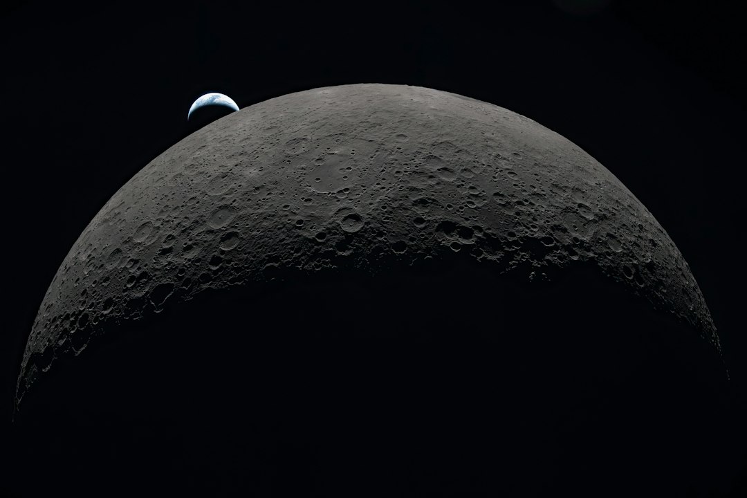
Navigating Lunar Orbit Using Nothing But Shadows And A Power Meter
Humanity's ambitions in deep space are rapidly outpacing our ability to keep track of everything we've sent there. From lunar orbiters to interplanetary probes, the sheer number of spacecraft operating beyond low Earth orbit has grown dramatically over the past decade — and the infrastructure designed to monitor them is beginning to buckle under the pressure. Now, a team of researchers has proposed an elegant, cost-free solution drawn from one of the most fundamental phenomena in orbital mechanics: the humble shadow.
NASA's Deep Space Network (DSN), the legendary array of giant radio antennae that has tracked humanity's most distant emissaries since the 1960s, is quickly becoming overwhelmed by the volume of tracking requests it receives. As more commercial, scientific, and international missions venture into cislunar space and beyond, the DSN is increasingly hard-pressed to maintain continuous contact with every spacecraft. This congestion creates dangerous gaps in positional awareness — gaps that can compound into serious navigational errors over time.
A new paper, currently available in pre-print on arXiv, authored by Ian Down, James McElreath, and Manoranjan Majji — from Advanced Space, Space Exploration Engineering, and Texas A&M University respectively — offers a surprisingly straightforward solution. Rather than relying on external radio signals or additional onboard hardware, the researchers propose using something every solar-powered spacecraft already measures obsessively: the output of its solar arrays. Specifically, the precise timing of how a spacecraft's solar panels respond to entering and exiting an eclipse can, with the right algorithm, pinpoint its three-dimensional position in space.
The Physics of Spacecraft Power and Eclipses
Every solar-powered spacecraft is equipped with systems to continuously optimize its energy harvest from the Sun. This is typically managed through an algorithm known as Maximum Power Point Tracking (MPPT), a well-established technique that dynamically adjusts the spacecraft's solar array orientation to maximize the incoming solar flux. The voltage and current readings generated by these arrays are logged meticulously — not for navigational purposes, but simply because power management is critical to a spacecraft's survival.
Eclipses, the moments when a planetary body passes between a spacecraft and the Sun, are a routine but dreaded occurrence in mission operations. When a spacecraft slips into shadow, its solar arrays immediately cease generating electricity. The onboard battery — sized precisely to weather these darkness intervals — takes over, sustaining the craft's electronics while temperatures across the structure plunge precipitously. For missions in lunar orbit, eclipse durations can range from minutes to nearly an hour, depending on orbital geometry.
Engineers usually spend a lot of time intentionally avoiding eclipses, because they can be really hard on the spacecraft itself. The solar arrays stop generating electricity, draining the battery, and everything on the craft gets much, much colder. However, the precise timing of how those blackouts travel across the solar panels of a spacecraft holds valuable information.
What Down, McElreath, and Majji recognized is that the moment at which a spacecraft crosses the boundary of a shadow — and the complementary moment it re-emerges into sunlight — is not arbitrary. It is a direct function of the spacecraft's precise three-dimensional position in space relative to the Sun, Earth, and Moon. If you know the shape of the shadow, you can reverse-engineer where the craft must have been when it crossed the shadow's edge.
The Geometry of Shadows in Cislunar Space
Planetary scientists and astrodynamicists have mapped the positions of the Sun, Earth, and Moon with extraordinary precision. Using centuries of observations and modern ephemeris databases such as NASA's Jet Propulsion Laboratory DE440 planetary ephemeris, researchers can predict the exact locations of these bodies — and the shapes of their shadows — years, even decades, in advance.
Each solar shadow cast by a planetary body consists of two nested geometric cones:
- The Umbra: The innermost, full shadow cone, where the Sun is completely occulted by the blocking body. A spacecraft inside the umbra receives zero direct solar radiation.
- The Penumbra: The outer, partial shadow cone, where the Sun is only partially blocked. Solar panel output diminishes gradually rather than cutting off instantaneously.
- The Antumbra: A less commonly discussed third region, where the blocking body appears smaller than the Sun and a faint annular "ring" of sunlight is visible — relevant primarily for precise photometric measurements.
When a spacecraft crosses the boundary between full sunlight and penumbra, then into the umbra, its solar array voltage trace draws out a characteristic signature. The shape and timing of this signature encodes positional information. Recording the exact timestamps of these transitions — achievable with standard onboard clocks — becomes the raw data for a navigation solution.
The Complicating Factors: Lunar Terrain and Earth's Atmosphere
In principle, this technique sounds straightforward. In practice, two major sources of complexity threaten to blur the precision of any positional fix derived from shadow timing.
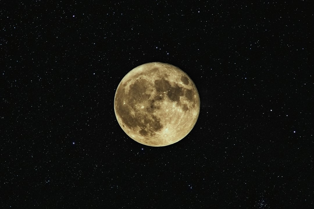
The first challenge comes from the Moon's rugged terrain. Unlike Earth, the Moon has no atmosphere to soften or diffuse the edges of its shadow. The boundary of the lunar shadow is therefore extraordinarily sharp — but also extraordinarily irregular. Every mountain peak, crater rim, and valley on the lunar limb carves a distinctive jagged pattern into the shadow boundary as it sweeps across space. These topographic features can shift the precise moment of shadow entry or exit by several seconds, introducing positional errors if not accounted for. Fortunately, the Moon's topography has been mapped in remarkable detail by missions such as NASA's Lunar Reconnaissance Orbiter (LRO), providing researchers with high-fidelity terrain models to predict these irregularities.
The second, more complex challenge arises from Earth's shadow. Our planet is not a perfect sphere — it is an oblate spheroid, slightly flattened at the poles and bulging at the equator. This departure from spherical geometry subtly alters the shape of its shadow cone. More significantly, Earth possesses a thick, dynamic atmosphere whose density and composition vary with altitude, latitude, and weather. Atmospheric refraction causes sunlight to bend around the planet's limb, effectively enlarging Earth's shadow and introducing a soft, gradual transition zone rather than a sharp umbral edge. Differentiating precisely which part of Earth a spacecraft is passing over during an eclipse — purely from solar panel voltage readings — requires an additional layer of sophistication.
A 170-Year-Old Dataset Comes to the Rescue
To address the Earth shadow complexity, the research team employed a remarkable historical resource: a dataset of over 22,000 observations of lunar craters being occulted by Earth's shadow, collected by ground-based astronomers between 1842 and 2011. This archival record — spanning nearly two centuries of patient telescopic observation — allowed the team to empirically characterize the precise shape and behavior of Earth's shadow as cast onto the Moon's surface under a wide variety of geometric conditions.
By correlating shadow timing measurements with known crater positions on the lunar surface, the algorithm can effectively "fingerprint" specific portions of Earth's atmospheric and geographic limb. This turns what would otherwise be an ambiguous positional blur into a recognizable navigational landmark — a shadow atlas of Earth's silhouette, built from generations of careful astronomical observation.
Using this data, the algorithm was able to map certain parts of the Earth's shadow to specific ground features, allowing a more granular idea of where the specific spacecraft is passing over during its eclipse.
Validation With Real Flight Data: The CAPSTONE Mission
Theory is valuable, but operational credibility requires real-world testing. The researchers found their ideal proving ground in CAPSTONE (Cislunar Autonomous Positioning System Technology Operations and Navigation Experiment), a 12-unit CubeSat operated by Advanced Space — the organization where lead author Ian Down works. CAPSTONE was designed to characterize the Near Rectilinear Halo Orbit (NRHO), the highly elliptical, three-body gravitational orbit that NASA had selected as the operational orbit for its Lunar Gateway station — now discontinued — before completing its mission in July 2026.
On January 11, 2026, CAPSTONE transited the Moon's shadow. Its telemetry recorded a textbook voltage signature: the solar array output dropped from approximately 23 volts to near zero as the spacecraft entered the lunar umbra, then surged back to 31 volts as it re-emerged into full sunlight on the far side of the Moon. These voltage transitions, timestamped by the spacecraft's onboard clock, constituted the raw observational input for the navigation algorithm.
The results were impressive. The algorithm determined CAPSTONE's entry and exit times into the Moon's shadow to within 15 seconds of the spacecraft's actual trajectory as confirmed by traditional radio-based tracking. Beyond static position fixes, the team also simulated a more operationally realistic scenario: a spacecraft that misses a scheduled check-in with ground stations, allowing its positional uncertainty to drift by several kilometers. When eclipse data alone was processed — with no additional navigational inputs — the algorithm reduced that positional uncertainty by more than 60 percent. That is a remarkable recovery capability from a data stream that every spacecraft already generates for free.
Zero-SWaP: The Most Valuable Three Letters in Deep Space Navigation
Perhaps the most consequential aspect of this entire approach is captured in a piece of spacecraft engineering jargon: zero-SWaP, meaning zero additional Size, Weight, and Power requirements. The technique demands no new sensors, no additional antennas, no upgraded hardware of any kind. Every solar-powered spacecraft already logs the data this method depends upon. The only new element is a software algorithm that processes existing telemetry in a novel way.
This is not a trivial distinction. In spacecraft design, every gram of mass, every cubic centimeter of volume, and every milliwatt of power consumed carries a cost measured in mission budget and launch vehicle capacity. A navigation enhancement that is genuinely free in all three dimensions simultaneously is exceptionally rare — and exceptionally valuable.
The technique does not aim to replace traditional ground-based radio navigation. The Deep Space Network and similar facilities provide positional precision that eclipse-based navigation cannot currently match under all conditions. Rather, as the authors emphasize, this method functions as a resilient, autonomous safety net — a way for spacecraft to maintain useful positional awareness during communication outages, DSN scheduling conflicts, or emergency scenarios where ground contact is unavailable.
Broader Implications for the Future of Cislunar Space
The timing of this research is not coincidental. The cislunar environment — the volume of space between Earth and the Moon, including all lunar orbits — is on the verge of becoming genuinely crowded. National space agencies, commercial operators, and international partnerships are all planning or executing missions to lunar orbit. ESA's lunar exploration program, NASA's Artemis architecture, commercial lunar delivery services, and a growing constellation of scientific orbiters are all converging on the same orbital real estate over the same time horizon.
Tracking all of these missions through dedicated ground station contact will become progressively less feasible. Autonomous, onboard navigation capabilities — especially those that cost nothing and require no new hardware — will transition from a convenience to a necessity. Eclipse-based navigation represents exactly the kind of clever, resource-conscious solution that the new era of deep space exploration demands.
- Enhanced mission safety: Spacecraft can maintain positional awareness during communication dropouts without any intervention from ground controllers.
- DSN congestion relief: Reduced dependence on continuous radio tracking frees up DSN time for higher-priority communications and science data downlinks.
- Low-cost mission enablement: Small satellites and CubeSats with limited navigation budgets gain access to meaningful autonomous position determination.
- Scalability: As lunar orbital traffic increases, the technique scales effortlessly — every new spacecraft is automatically equipped with an eclipse sensor the moment its solar panels are deployed.
- Historical data synergy: The technique creatively repurposes over 170 years of existing astronomical records, demonstrating the enduring scientific value of archival observational data.
From the jagged shadows of ancient lunar craters to the voltage logs of a modern CubeSat, this research elegantly bridges two centuries of astronomical observation with the cutting-edge demands of 21st-century space navigation. As humanity prepares to establish a sustained presence in the Earth-Moon system, innovations like this — clever, free, and deeply rooted in physical understanding — may prove to be among the most valuable tools in the deep space navigator's kit.
Further Reading and Resources
- arXiv.org — Original preprint: "Eclipse Observables for Navigation in Cislunar Space" by Down, McElreath & Majji
- NASA Deep Space Network — Overview and current mission support
- NASA Lunar Reconnaissance Orbiter — Lunar topographic mapping mission
- NASA Lunar Gateway — Cislunar space station program overview
- ESA Lunar Exploration Program